


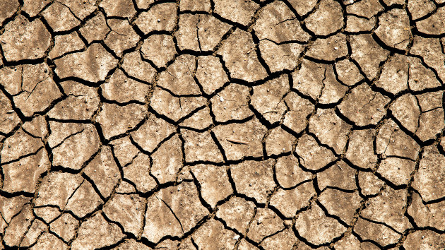
(NEW YORK) — A dry winter, following an even drier summer, has left much of Europe fearing another extended drought. Striking satellite images show just how much lakes in Spain and France have shrunk, pushing local authorities to act.
The Sau reservoir, north of Barcelona in Spain’s Catalonia region, was created in 1962, flooding an existing village in the basin to make way for it. Over the years, the steeple of the church has sometimes been visible when the water reached low levels. But now, after multiple dry years, entire segments of the town have become accessible again.
In fact, the water has reached such low levels that last month Catalan authorities announced they would begin the process of draining the reservoir completely. At this point, the reservoir was about 10% full, with a capacity to supply water to about one million people for three months, well below the over five million people who typically rely on it.
As part of this operation to drain the reservoir, authorities are also working to remove several tonnes of fish from the water to prevent them from dying in large quantities and contaminating the water. In a statement, the regional authorities described the draining of the Sau reservoir as “an extraordinary measure … to guarantee the population’s demands as much as possible.”
The Sau reservoir is only one of multiple bodies of water that have lost drastic amounts of water over successive dry seasons. The Lac de Montbel, in southern France, is below 30% of its capacity. The lake started receding in the summer of 2022 and the region’s driest winter in decades has only compounded the situation.
At the end of February, the area surrounding the lake came under “reinforced alert” for water restriction, meaning water use for agricultural purposes must be cut by half. Individuals are also urged to reduce their water consumption as much as possible.
Andreas Gunther is project coordinator for the Global Gravity Based Groundwater Project, or G3P. It’s an initiative using satellites to try to map Europe’s groundwater capacity, to gather a picture of how much water is available on the continent, both in lakes and rivers, but also in aquifers deep below the surface.
Gunther said the current problems go back to 2018 when successive dry years strained Europe’s water supply. A few rainy years gave hope that a drought might be avoided but the rain still fell short of expectations.
“This was not sufficient to restore the deficits that had been generated in the two to five years before,” he said.
The situation now is at its most dire in the 20 years since mapping began, Gunther said.
“Many areas reached their lowest ever level in water storage in the summer of 2022,” he noted.
Gunther’s groundwater project aims to help governments and organizations plan as these dry cycles are exacerbated by climate change. With the last eight years in Europe being the warmest ever recorded, observation and policy will be key to managing the future of water on the continent.
Copyright © 2023, ABC Audio. All rights reserved.

