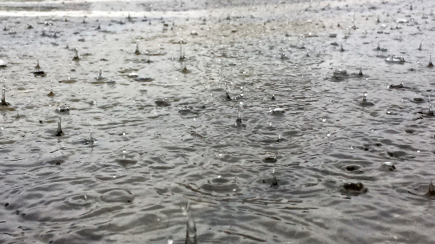
(NEW YORK) — Parts of a winter storm that brought historic rainfall to Southern California this week is now moving eastward, bringing even more precipitation to the southern and eastern United States.
Areas of eastern Texas, where flash flood warnings have been issued, already got up to a half of a foot of rainfall on Tuesday and overnight into Wednesday. Some schools there had delayed openings on Wednesday morning and some roads were closed north of Houston.
As of early Wednesday, 17 states were under flood watches for heavy rain as well as a combination of heavy rain and melting snow.
Rounds of heavy rain are in the forecast for Wednesday and Thursday across the South and even into the Midwest, where all the snow is melting from mild temperatures.
On Wednesday, the heaviest rain will hit from Houston, Texas, to New Orleans, Louisiana, and into Jackson, Mississippi, where some areas could see an additional 3 to 6 inches of rain and flash flooding is expected.
Some thunderstorms could also become severe on Wednesday with damaging winds and even a few tornadoes, especially in southern Louisiana and Mississippi.
By Thursday, the flood threat is forecast to move into Georgia, including Atlanta, where 2 to 3 inches of rain could fall with localized amounts up to 5 inches possible.
Meanwhile, 23 sates from Texas to Washington and east to Pennsylvania were under dense fog alerts for Wednesday morning, with visibility dropping close to zero in some places. Overnight, a ground stop was issued at Texas’ Dallas Fort Worth International Airport due to visibility near zero.
The fog is expected to impact major cities and their airports, including Dallas, Texas; New Orleans, Louisiana; Oklahoma City, Oklahoma; Little Rock, Arkansas; Kansas City, Missouri; St. Louis, Missouri; Chicago, Illinois; and Detroit, Michigan.
The fog should dissipate in most areas by Wednesday afternoon but is forecast to reform in the evening.
In the Northeast, a mix of snow and ice was falling lightly early Wednesday from northern Pennsylvania to upstate New York into the New England area. Winter weather advisories have been issued from Pennsylvania to Maine for Wednesday morning, though not much snowfall is in the forecast there — possibly an inch or two with a glaze of ice.
Most of the weather alerts are set to expire Wednesday morning, while some — mostly in northern New England — remain in effect until the evening.
Much of the precipitation in the Northeast is expected to transition into just rain by Wednesday evening as temperatures warm well above freezing.
Copyright © 2024, ABC Audio. All rights reserved.


